
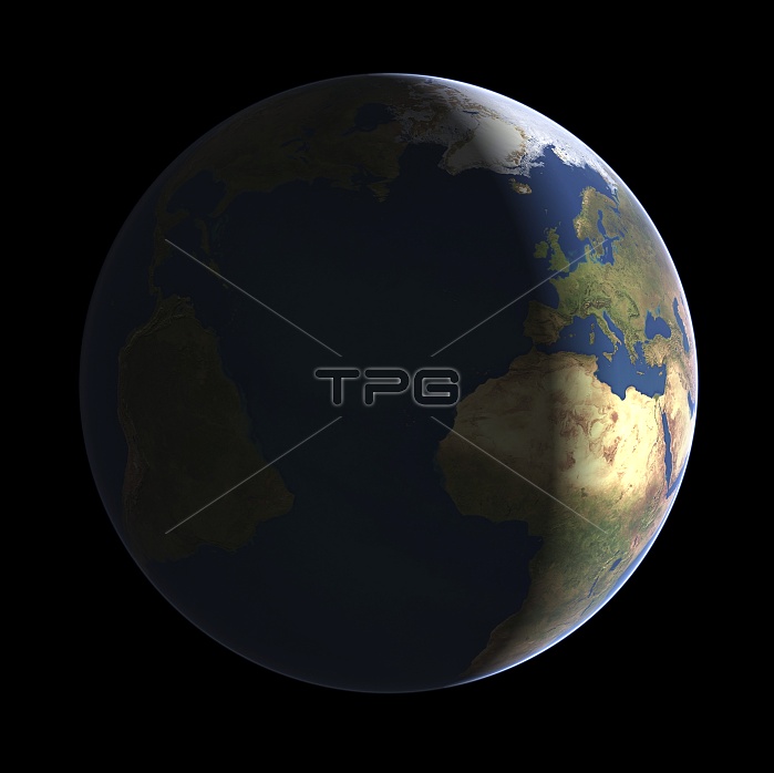
Dawn over Europe and Africa, Earth globe. Computer graphic of a crescent Earth globe centred on the northern Atlantic, generated using satellite and mapping data. The data combines cloud-free satellite images of the land and sea surface in natural colour, plus ray-traced atmospheric haze. The globe is shown with the correct axial tilt, with sunlight from the right, highlighting Europe, parts of Africa and the Arctic, with the Atlantic Ocean, North America, South America, and west Africa in shadow. The dark areas of the globe will move out of darkness into the sunlight as the Earth's rotation moves them across the dawn terminator (night-day line).
| px | px | dpi | = | cm | x | cm | = | MB |
Details
Creative#:
TOP11247365
Source:
達志影像
Authorization Type:
RM
Release Information:
須由TPG 完整授權
Model Release:
No
Property Release:
No
Right to Privacy:
No
Same folder images:
 Loading