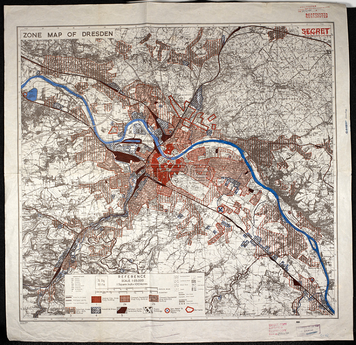
鈥榋one map of Dresden.'; Coverage of large towns throughout Germany; Italy and major occupied cities in other countries of central Europe. Small-scale town area maps overprinted to show vulnerability to high explosive and incendiary bombing. All originally classified "Secret".[London]: War Office; 1943-1944. Produced by: Great Britain. Air Ministry.From: Zone maps; Series GSGS 4399.Maps MOD GSGS 4399 London; British Library.
| px | px | dpi | = | cm | x | cm | = | MB |
Details
Creative#:
TOP20986639
Source:
達志影像
Authorization Type:
RM
Release Information:
須由TPG 完整授權
Model Release:
No
Property Release:
No
Right to Privacy:
No
Same folder images:
Restriction:
Additional permissions needed for non-editorial use.

 Loading