
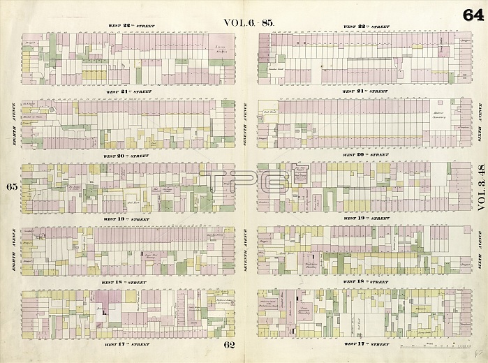
Plate 64: Map bounded by West 22nd Street, Sixth Avenue, West 17th Street, Eight Avenue. 1857, 1862, Perris and Browne, New York, USA
| px | px | dpi | = | cm | x | cm | = | MB |
Details
Creative#:
TOP25191100
Source:
達志影像
Authorization Type:
RM
Release Information:
須由TPG 完整授權
Model Release:
No
Property Release:
No
Right to Privacy:
No
Same folder images:
17th1857186222nd64agedamericaamericanandavenuebrownecartographiccartographycenturydrawingdrawingseightgeographyhistorichistoricalhistoricallyhistoryillustrationillustrationsmapnewofoldpaintedpaintingperrispicturepicturesplateplatesroadroadssixthStatesstreetstreetsU.S.AU.S.A.UnitedUSusavintagewestyorkalimdiRM333D8FSK
17th1857186222nd333D8FSK64RMStatesU.S.AU.S.A.USUnitedagedalimdiamericaamericanandavenuebrownecartographiccartographycenturydrawingdrawingseightgeographyhistorichistoricalhistoricallyhistoryillustrationillustrationsmapnewofoldpaintedpaintingperrispicturepicturesplateplatesroadroadssixthstreetstreetsusavintagewestyork
 Loading