
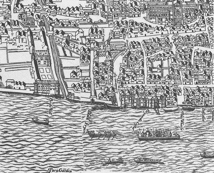
1766046 Detail of River Thames and St Paul\'s Cathedral from Civitas Londinium (woodblock print) by Agas, Ralph (c.1540-1621); Private Collection; (add.info.: Known as the Agas Map, this detailed survey of Tudor London c.1561, was modified c.1633.); English, out of copyright.
| px | px | dpi | = | cm | x | cm | = | MB |
Details
Creative#:
TOP27426327
Source:
達志影像
Authorization Type:
RM
Release Information:
須由TPG 完整授權
Model Release:
No
Property Release:
No
Right to Privacy:
No
Same folder images:
boatBoatstugboattransportcartographycityurbanbaynardscastleagasmapbridewellrowingfleetblackfriarstopography16thcenturysurveyriverthameswharfmap17thcenturyaeriallondonriverfleetludgatecityoflondonenglishstpaul\'scathedralbird\'s-eyeviewtransportoldstpaul\'splanradulphaggastudorcivitaslondiniumralphagasstandrew\'shillcityurbanbaynardscastleagasmapbridewellrowingboatsfleetblackfriarstopography16thcenturysurveyriverthameswharfmap17thcenturyaeriallondonriverfleetludgatecityoflondonenglishstpaul'scathedralbird's-eyeviewtransportoldstpaul'splanradulphaggastudorcivitaslondiniumralphagasstandrew'shill
16th16th17th17thBoatsaerialaerialagasagasagasagasaggasaggasandrew'sandrew\'sbaynardsbaynardsbird's-eyebird\'s-eyeblackfriarsblackfriarsboatboatsbridewellbridewellcartographycastlecastlecathedralcathedralcenturycenturycenturycenturycitycitycitycitycivitascivitasenglishenglishfleetfleetfleetfleethillhilllondiniumlondiniumlondonlondonlondonlondonludgateludgatemapmapmapmapofofoldoldpaul'spaul'spaul\'spaul\'splanplanradulphradulphralphralphriverriverriverriverrowingrowingststststststsurveysurveythamesthamestopographytopographytransporttransporttransporttudortudortugboaturbanurbanviewviewwharfwharf
 Loading