
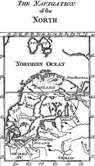
5309274 18th century map of Northern Europe and Spitsbergen, showing how much was still to be charted, 18th century; (add.info.: 18th century map of Northern Europe and Spitsbergen, showing how much was still to be charted. Dated 18th century); Universal History Archive/UIG.
| px | px | dpi | = | cm | x | cm | = | MB |
Details
Creative#:
TOP27752452
Source:
達志影像
Authorization Type:
RM
Release Information:
須由TPG 完整授權
Model Release:
No
Property Release:
No
Right to Privacy:
No
Same folder images:
 Loading