
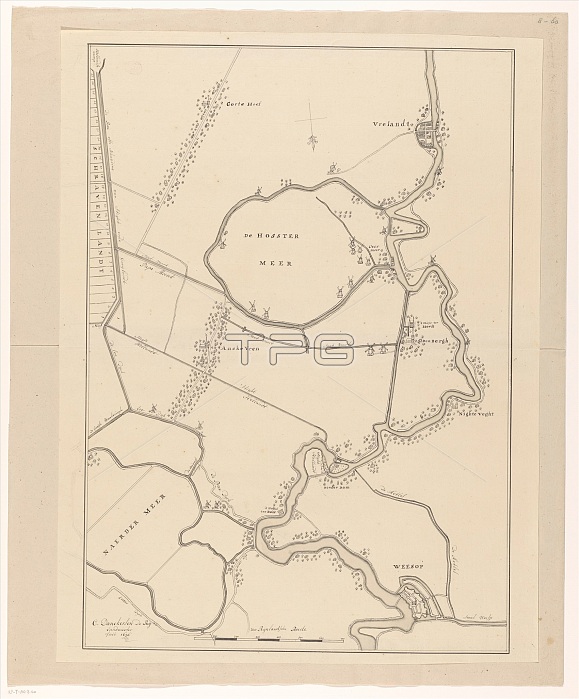
Map of a part of the Gooi, 1636-1799. Creator: Cornelis Danckerts de Ry.
| px | px | dpi | = | cm | x | cm | = | MB |
Details
Creative#:
TOP29405749
Source:
達志影像
Authorization Type:
RM
Release Information:
須由TPG 完整授權
Model Release:
Not Required
Property Release:
Not Required
Right to Privacy:
No
Same folder images:
EuroperiverbuildingartsvillageslakeartmuseumgeographyNetherlandsDutchcolorvillagewindmillwindmillslocationcenturydrawingB&WMONOCHROMEwatercolour17thcenturyColourblack&whiteblackandwhiteB/WwhiteandblackseventeenthcenturygeographicalfeatureRijksmuseumTGNinkmappencilpaperHeritageArtDrawingLowCountrieswatercolour(paint)CornelisDanckertsdeRyRyCornelisDanckertsdeRijCornelisDanckertsdeCornelisDanckertsdeRijIICornelisDanckertsdeRijCornelisDanckertsdeRyII
&(paint)17thArtB&WB/WColourCornelisCornelisCornelisCornelisCornelisCornelisCountriesDanckertsDanckertsDanckertsDanckertsDanckertsDanckertsDrawingDutchEuropeHeritageIIIILowMONOCHROMENetherlandsRijRijRijRijksmuseumRyRyRyTGNandandartartsblackblackblackbuildingcenturycenturycenturycolordededededededrawingfeaturegeographicalgeographyinklakelocationmapmuseumpaperpencilriverseventeenthvillagevillageswatercolourwatercolourwhitewhitewhitewindmillwindmills
 Loading