
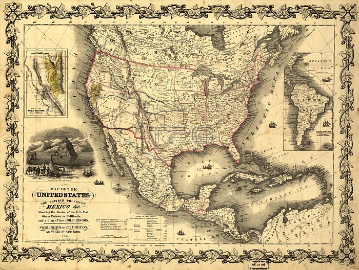
Map of the United States, the British provinces, Mexico &c., 1849. Shows Californias gold region and western trails. Includes illustration of "Pyramid Lake, Upper California" and distance table.
| px | px | dpi | = | cm | x | cm | = | MB |
Details
Creative#:
TOP29694887
Source:
達志影像
Authorization Type:
RM
Release Information:
須由TPG 完整授權
Model Release:
Not Required
Property Release:
Not Required
Right to Privacy:
No
Same folder images:
oceanCaliforniaNorthAmericacoastlibraryhistoricalcoastalmapindustrycountrylakeBritishgeographyMexicocolortrailCentralAmericaPacificOceancolonyindustrialminingAtlanticOceanMexicantextlocationcenturyColonialBritaincartographyconceptletteringLibraryofCongressgoldminingUnitedStatesofAmericaColour19thcenturyPyramidLake1840snineteenthcenturyAmericanhistoryhistoricAmericaUSAcolonialismgeographicalfeaturemap-makingTGNillustrationmapMapmakingunitedstatesCongressionalLibraryHeritageArt19th-centuryColtoncartographicMeetingofFrontiersJohnM.AtwoodAtwoodJohnM.J.H.ColtonJ.H.
1840s19th19th-centuryAmericaAmericaAmericaAmericaAmericanArtAtlanticAtwoodAtwoodBritainBritishCaliforniaCentralColonialColourColtonColtonCongressCongressionalFrontiersHeritageJ.H.J.H.JohnJohnLakeLibraryLibraryM.M.MapmakingMeetingMexicanMexicoNorthOceanOceanPacificPyramidStatesTGNUSAUnitedcartographiccartographycenturycenturycenturycoastcoastalcolonialismcolonycolorconceptcountryfeaturegeographicalgeographygoldhistorichistoricalhistoryillustrationindustrialindustrylakeletteringlibrarylocationmapmapmap-makingminingminingnineteenthoceanofofofstatestexttrailunited
 Loading