
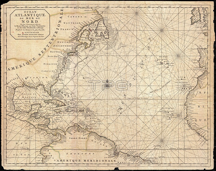
1683, Mortier Map of North America, the West Indies, and the Atlantic Ocean
| px | px | dpi | = | cm | x | cm | = | MB |
Details
Creative#:
TOP29782080
Source:
達志影像
Authorization Type:
RM
Release Information:
須由TPG 完整授權
Model Release:
Not Available
Property Release:
Not Available
Right to Privacy:
No
Same folder images:
1683MortierMapofNorthAmericatheWestIndiesandtheAtlanticOceantopographycartographygeographylandillustrationgeographictraveltopochartgridlatitudelongitudegeometricatlasmapvintageancienthistoryworldpaperoldretroeartharthistoricaldecorativenavigationagedhistoricjourneydiscoveryexplorationgeographicalMappamundispaceregionoldmapantiquemaprareoldmapsoldantiqueplanolsantiquemapoldantiqueview
1683AmericaAtlanticIndiesMapMappaMortierNorthOceanWestagedancientandantiqueantiqueantiqueantiqueartatlascartographychartdecorativediscoveryearthexplorationgeographicgeographicalgeographygeometricgridhistorichistoricalhistoryillustrationjourneylandlatitudelongitudemapmapmapmapmapsmundinavigationofoldoldoldoldoldolspaperplanrareregionretrospacethethetopotopographytravelviewvintageworld
 Loading