
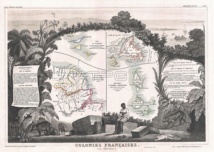
1852, Levasseur Map of Guyana, Miquelon, Newfoundland, and St. Martin
| px | px | dpi | = | cm | x | cm | = | MB |
Details
Creative#:
TOP29782535
Source:
達志影像
Authorization Type:
RM
Release Information:
須由TPG 完整授權
Model Release:
Not Available
Property Release:
Not Available
Right to Privacy:
No
Same folder images:
1852LevasseurMapofGuyanaMiquelonNewfoundlandandSt.MartintopographycartographygeographylandillustrationgeographictraveltopochartgridlatitudelongitudegeometricatlasmapvintageancienthistoryworldpaperoldretroeartharthistoricaldecorativenavigationagedhistoricjourneydiscoveryexplorationgeographicalMappamundispaceregionoldmapantiquemaprareoldmapsoldantiqueplanolsantiquemapoldantiqueview
1852GuyanaLevasseurMapMappaMartinMiquelonNewfoundlandSt.agedancientandantiqueantiqueantiqueantiqueartatlascartographychartdecorativediscoveryearthexplorationgeographicgeographicalgeographygeometricgridhistorichistoricalhistoryillustrationjourneylandlatitudelongitudemapmapmapmapmapsmundinavigationofoldoldoldoldoldolspaperplanrareregionretrospacetopotopographytravelviewvintageworld
 Loading