
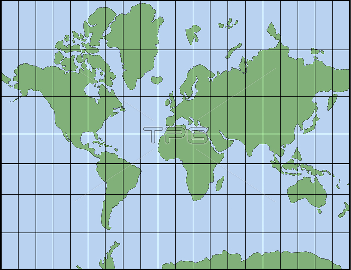
Invented in 1569 by the Dutch geographer Gerard Mercator, the Mercator projection compensates for the eastwest distortion with an equivalent southnorth distortion of the polar regions. Because of this, the Mercator projection preserves the right angles between the parallels and meridians, and is therefore still one of the most frequently used systems for navigation. However, the correction causes some areas, especially those close to the poles, to appear larger.
| px | px | dpi | = | cm | x | cm | = | MB |
Details
Creative#:
TOP19705860
Source:
達志影像
Authorization Type:
RM
Release Information:
須由TPG 完整授權
Model Release:
No
Property Release:
No
Right to Privacy:
No
Same folder images:
 Loading