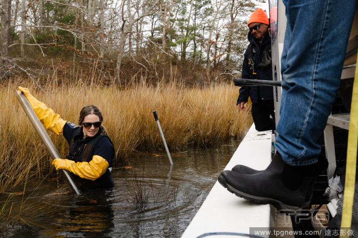
EditorialAshley Fisher, director of the Mashpee Department of Natural Resources in Massachusetts, takes samples from the bed of the Mashpee River in Mashpee, Mass., Dec. 6, 2022. (Sophie Park/The New York Times)
EditorialA Gentleman with His Pair of Bays Harnessed to a Curricle. Date/Period: 1806. Painting. Oil on canvas. Height: 476 mm (18.74 in); Width: 762 mm (30 in).
EditorialA Map of the Province of South Carolina. A MAP of the PROVINCE of SOUTH CAROLINA with all the Rivers, Creeks, Bays, Inletts, Islands, INLAND NAVIGATION, Soundings, Time of High Water on the Sea Coast, Roads, Marshes, Ferrys, Bridges, Swamps, Parishes C...
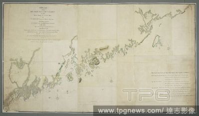
EditorialA drawn plan of the sea coast from Cape Elizabeth on the West side of Casco Bay to St. John's River in the Bay of Fundy. A PLAN of the SEA COAST from CAPE ELIZABETH on the WEST SIDE of CASCO BAY to ST, IOHNS RIVER, IN THE BAY OF FUNDY, Including part o...
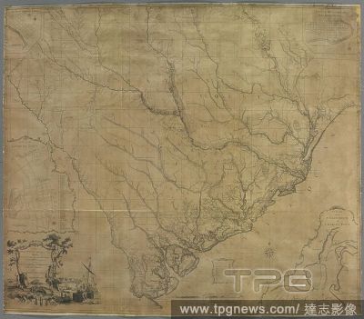
EditorialA map of South Carolina. A MAP of SOUTH CAROLINA. With all the Islands, Marshes, Swamps, Bays, Rivers, Creeks, Inland Navigations, And all the COUNTYS, DISTRICTS, TOWNS, ROADS, COUNTY, PARISH, and PROVINCIAL LINES; From an ACTUAL SURVEY. [London] : Pub...
EditorialEastbound traffic slows to a crawl on State Route 27, also known as the Sunrise Highway, in Hampton Bays on New York’s Long Island on Saturday morning, May 21, 2022. (Pat O'Malley/The New York Times)
EditorialA Gentleman with His Pair of Bays Harnessed to a Curricle. Date/Period: 1806. Painting. Oil on canvas. Height: 476 mm (18.74 in); Width: 762 mm (30 in).


 Loading