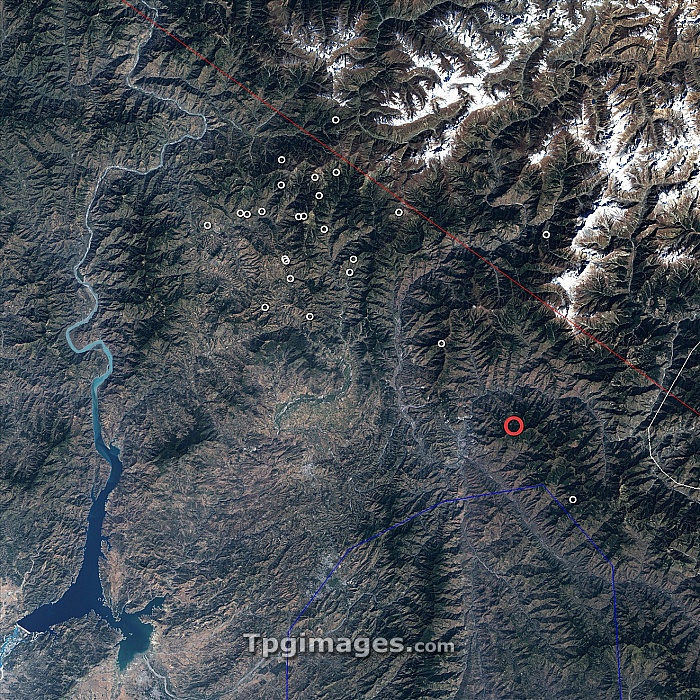
2005 Kashmir earthquake, Landsat 7 satellite image. This earthquake, which struck the Pakistani region of Kashmir, occurred at 3:50am GMT on 8th October 2005. It had a magnitude of 7.6, and led to the deaths of nearly 100,000 people. The epicentre is marked by the red circle. Aftershocks are marked by white circles. The region lies where the Indian tectonic plate collides with the Eurasian tectonic plate. This collision, which began some 50 million years ago, formed the Himalaya mountain range.
| px | px | dpi | = | cm | x | cm | = | MB |
Details
Creative#:
TOP06670587
Source:
達志影像
Authorization Type:
RM
Release Information:
須由TPG 完整授權
Model Release:
NO
Property Release:
NO
Right to Privacy:
No
Same folder images:

 Loading