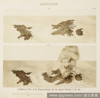
Editorial'A Bird's-eye view of the Kameni-Islands and the adjacent Bottom of the Sea'. Santorin, die Kaimeni-Inseln. Dargestellt nach Beobachtungen von K. v. Fritsch, W. Reiss und A. Stu?bel (Taf. I. Kartenskizze der gesammten Inselgruppe vor S. ... Taf. II. K...
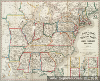
EditorialPhelps's Karte der Vereinigten Staaten von Nord America ein F?hrer f?r Reisende : enthaltend die Haupt-eisenbahnen, Canaele, Routen der Dampfboote & Eilwagen durch die Union, cartographic, Maps, 1849, Gebr?der Locher, Phelps, Humphrey, active 19th century.
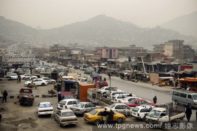
EditorialDuring the morning rush in Kabul on Saturday, Feb. 20, 2021, men gather around a street food stall and drink hot milk from communal glasses that are rinsed with water in between uses. (Kiana Hayeri/The New York Times)
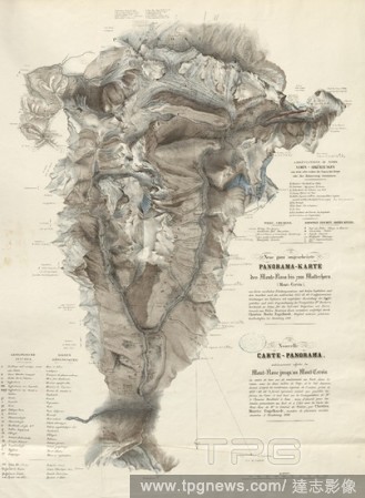
EditorialNeue ganz umgearbeitete Panorama-Karte des Monte-Rosa bis zum Matterhorn (Mont-Cervin), Map of Monte Rosa, Matterhorn and surroundings, parallel title: Nouvelle Carte-panorama enti?rement refaite du Mont-Rose jusqu 'au Mont-Cervin, lithograph, pl. 8, p...
EditorialKarte of Assyria and Babylon, following this History, Map of the Assyrian Empire, Fig. 4, according to p. 148, Histoire universelle depuis le commencement du monde jusqu'? pr?sent, traduite de l'anglois. Bd. 3. Amsterdam: Arkst?e et Merkus, 1771.
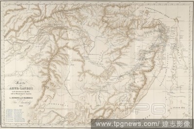
EditorialKarte des Amur-Landes. Reisen und Forschungen im Amur-Lande in den Jahren. St. Petersburg, 1858-1900. Map of Far East regions. Image taken from Reisen und Forschungen im Amur-Lande in den Jahren 1854-56, etc. (Anhang zum III. Bande bearbeitet von Dr. ...


 Loading